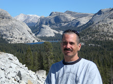
Robbie and I hiked up to San Jacinto Peak this past Saturday. We hiked 15 1/2 miles rount trip with elevation gain/loss of 4600 feet. This is the second tallest mountain in Southern California at 10,834 feet above sea level. Pictures and words can not quite describe how beautiful it is up in those mountains. Standing on that peak was like being on the rooftop of Southern California with views stretching out probably a hundred or more miles out in all directions. We plan on hiking to the top of the three highest mountains in So Cal this summer: San Gorgonio Mountain - 11,499 feet; Mount San Antonio ( Mount Baldy ) - just over 10,000 feet; and Mount San Jacinto 10,834 which we have just ( with much effort ) Bagged!
Within 7 hours we had gone from elevation zero near the coast to the top of the mountain. The elevation was taking its toll on me around the last 500 to 1000 feet. Dizziness, lightheaded, slight pulsating headache and a bit harder to hike. I felt much better after eating lunch and drinking plenty of water and Gatorade and just hanging out on top of the mountain. My body on the other hand worked very well and I didn't even get too sore from this hike. Robbie and I are both really stoked to have achieved this high mountain peak.

Above: Taquitz Peak above 8,800 feet


Below: View of Jean Peak at above 10,000 feet

Below: looking out below to the Palm Springs area.


Below: On top of the world.

Below: Stone hut just below San Jacinto Peak.


Below: Robbie and I with some other hikers at 10,834 feet in the sky.

Below: View of Suicide Rock


Below: Looking across to San Gorgonio Mountain - 11,499 feet

Below: View of Lily Rock

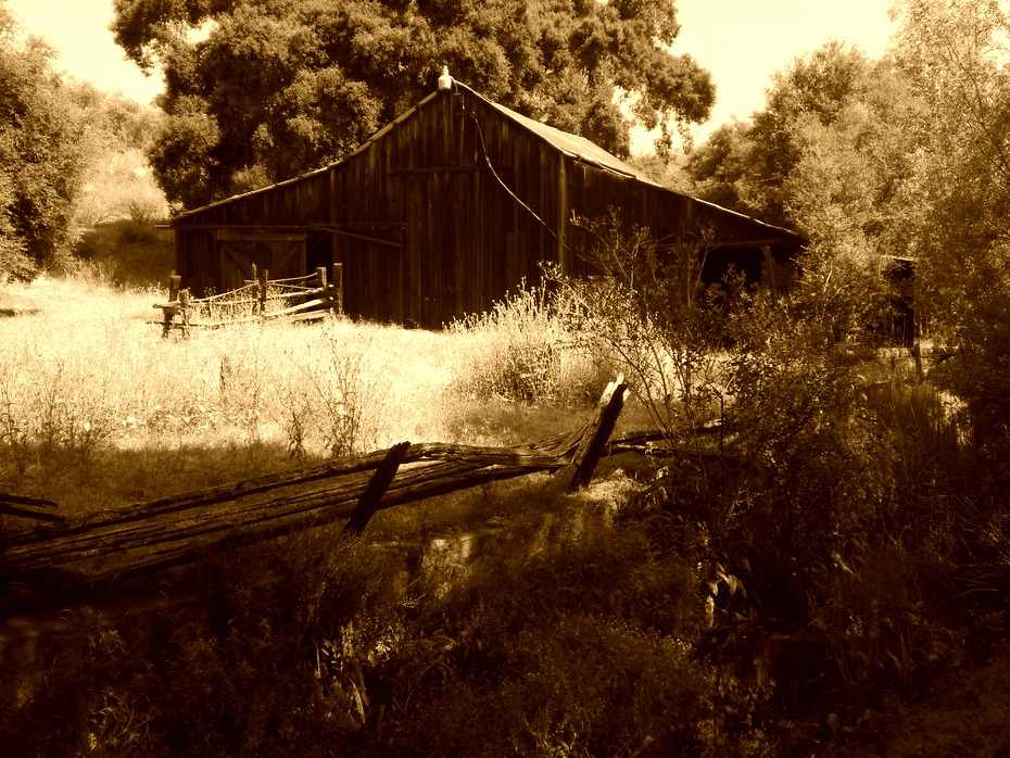
 Our first hike in the San Gabriel Mountains.....big, steep and beautiful. My daughter Barbara, my brother Rob and I started our hike at the Vincent gap trail head with 9,399 foot Mount Baden Powell towering above us and 10,064 foot Mount Baldy across the way on the other side of the canyon. We set out to take the Mine Gulch trail out to the Buckhorn mine but about a mile down the trail we decided to traverse a rocky chute down into the East Fork San Gabriel River Canyon. We must have descended between 1000 to 1500 feet down into the canyon. what an experience hiking down on the loose scree and rock. From time to time the water would flow above ground intermittently as we made our way down. These are the very headwaters of what will eventually become a river miles downstream. Once we made it into the canyon we searched and found the switchbacking trail which led us back up to the trail head. We seen three deer on this hike. Once we were about a mile or two up the canyon we ran into a guy who gave us directions how to find Vincents Cabin, an old cabin way back in the woods built on a flat area overlooking the canyon. We checked out the cabin and then made our way back up to the car. Really cool hike. We then went down to the town of Wrightwood and ordered a large pizza and some drinks and played some good music on the jukebox as we filled our bellies out on the patio picnic area. Then we went and got some candy from the candy store to munch on on the drive home.